Observation provides the opportunity to monitor or assess a process or situation which usually provides insights and understanding of the event or the series of events, activities or situations being evaluated. Certainly we can make observations directly by seeing, feeling, hearing or smelling but we can also extend and refine our observations with the help of Geospatial Technology.
Geospatial Technology is an emerging field of study that consists of major disciplines such as Geographic Information System (GIS), Remote Sensing (RS), and Global positioning system (GPS) and so on. Each discipline is an elaborate field unto themselves. However, POE is here to link them together to better understand the world in which we live in.
Geospatial Technology collects, processes, analyses, maps and deploys geospatial data. Geospatial data is information that describes objects, events or other features with a location on or near the surface of the earth. Geospatial data typically combines location information and attributes this information with temporal information. Such data can be discovered, shared, analysed and used in combination with traditional business data.
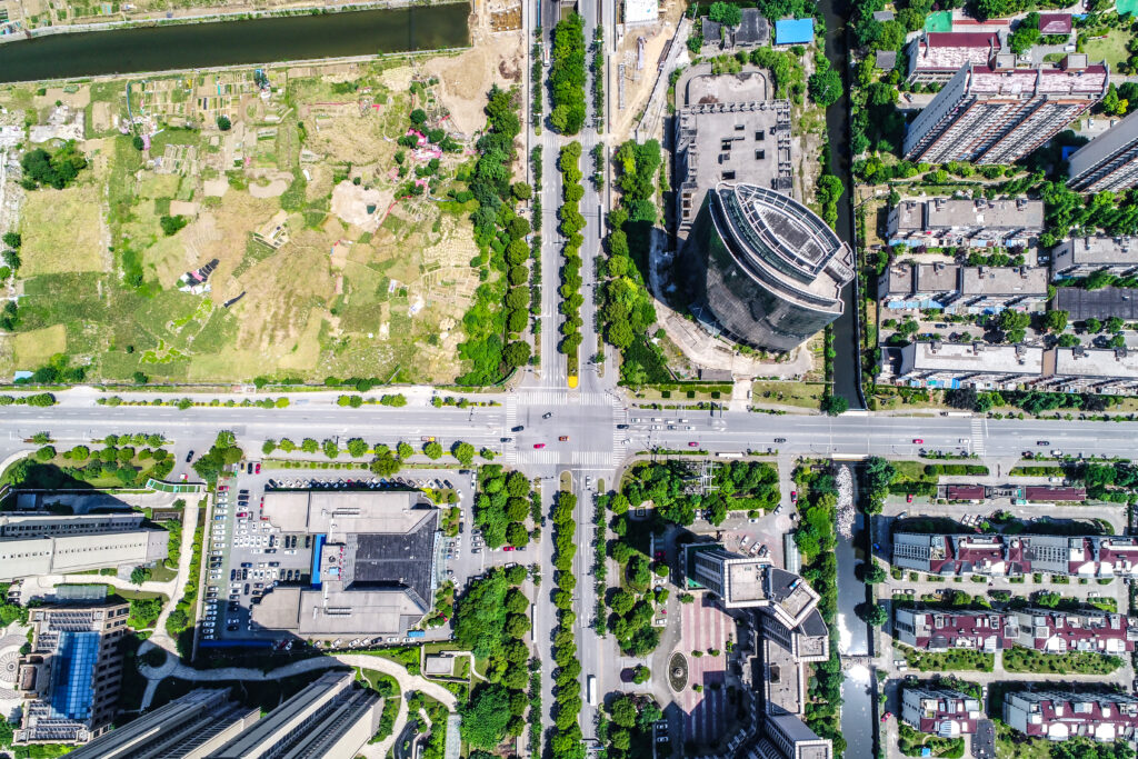
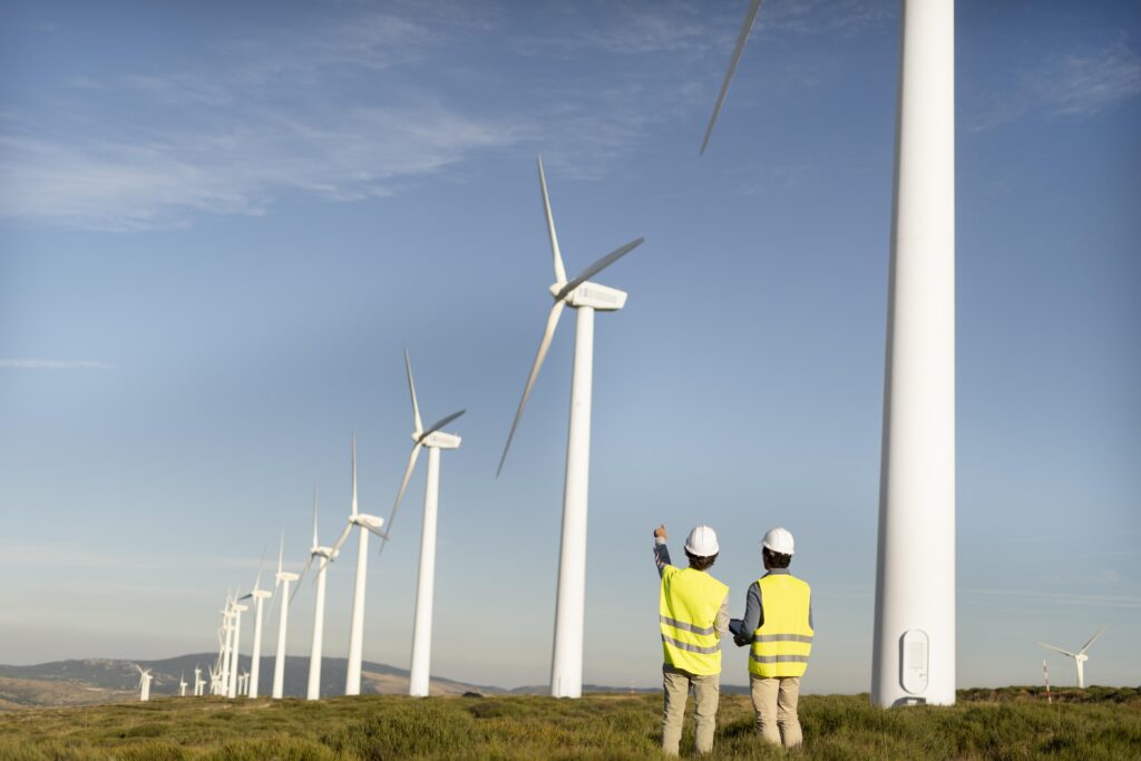
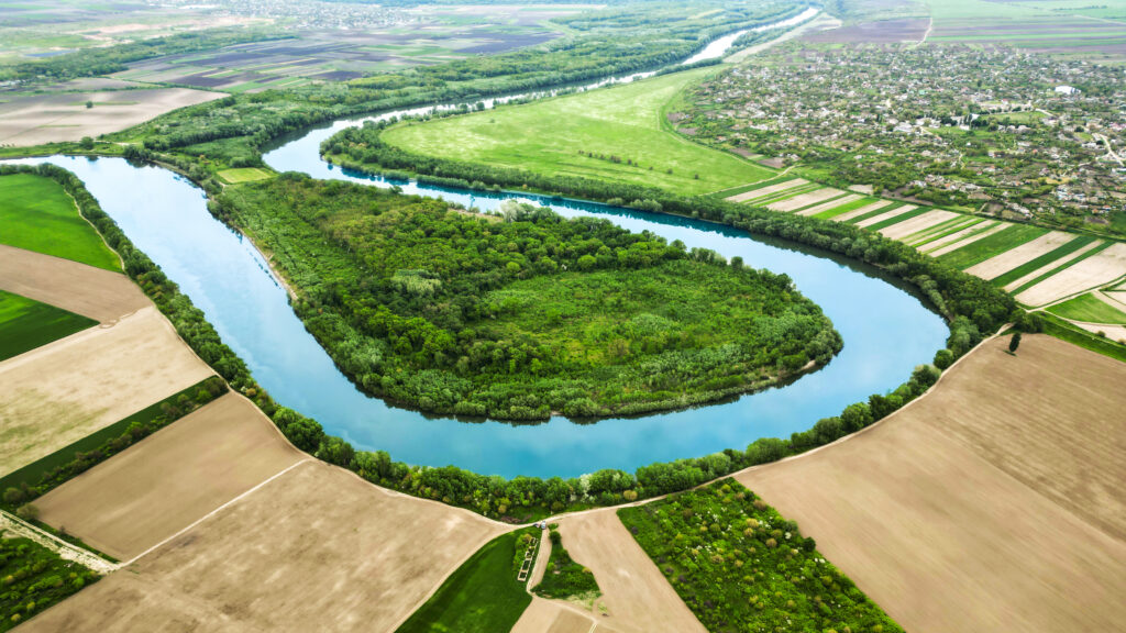
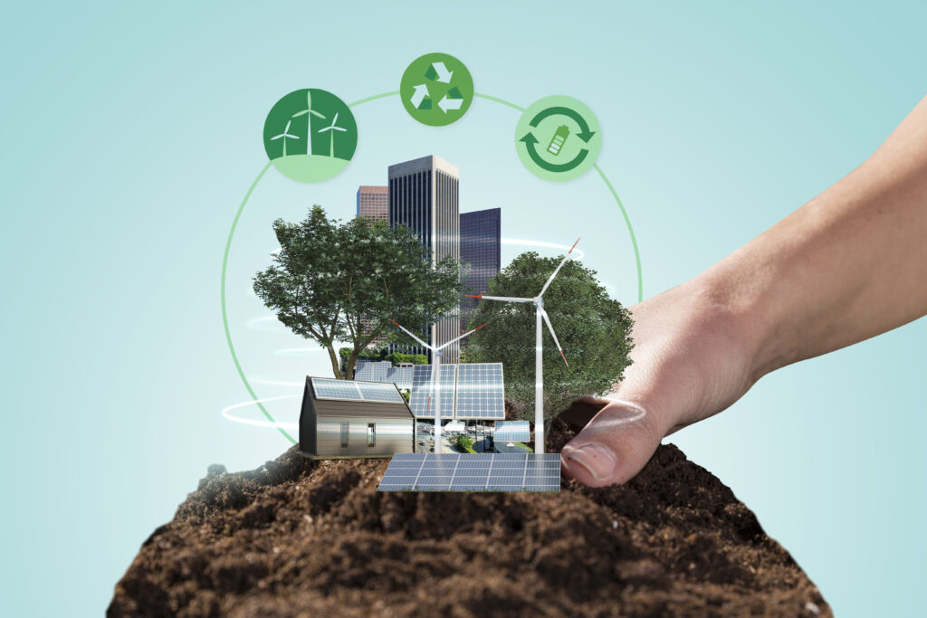
Geospatial data is vast term which includes any data that is explicitly associated to a specific location. And there is abundant amount of information to gain by combining different types of datasets with each other. The different datasets further used to quantify and identify diverse patterns which helps in vivid applications such as Agriculture, Forest Cover, Land & Infrastructure, Natural Resources Management and Infrastructure, Engineering Application, and Energy sectors.
Our Services
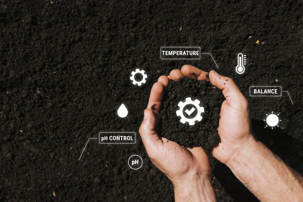
Agriculture Appliances
The Agriculture sector is a crucial part of the economy and is vital for food security and sustainable development. Despite the declining share of the …
POE has diverse team of qualified, experiences and knowledgeable professionals, which help you to achieve the accurate results on your projects. POE is here to assist you in developing many modern and emerging economics robust policies and then evaluating their effects compared to cost benefits.